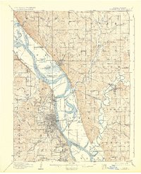
1910 Map of Leavenworth
USGS Topo · Published 1932About this map
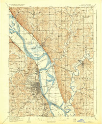
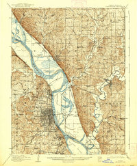
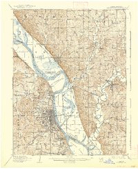
The Missouri River forms the central spine of this landscape, separating the intricate town grid of Leavenworth, Kansas, from the floodplains and bluffs of Platte County, Missouri. The map illustrates a significant institutional and military concentration, anchored by the Fort Leavenworth Military Reservation and the U S Penitentiary Reserve. Further south, the Kansas State Penitentiary at Lansing and the National Military Home underscore the region's development as a hub for federal and state operations during the early twentieth century.
Find a feature on this map
126 named features on this map. Tap any name to fly to it.
Don’t see what you’re looking for? This feature index may not catch every label — zoom into the map to look around manually.
Map Details
Editions of this 1910 Leavenworth Map
8 editions found
Other maps of this area

1885 · Atchison
USGS Topo · 1:125,000

1886 · Oskaloosa
USGS Topo · 1:125,000

1888 · Oskaloosa
USGS Topo · 1:125,000

1888 · Atchison
USGS Topo · 1:125,000

1890 · Kansas City
USGS Topo · 1:125,000

1893 · Atchison
USGS Topo · 1:125,000

1894 · Kansas City
USGS Topo · 1:125,000

1894 · Oskaloosa
USGS Topo · 1:125,000

1910 · Leavenworth
USGS Topo · 1:62,500

1914 · Smithville
USGS Topo · 1:62,500