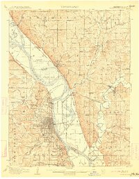
1910 Map of Leavenworth
USGS Topo · Published 1910About this map
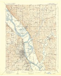
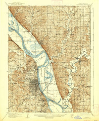
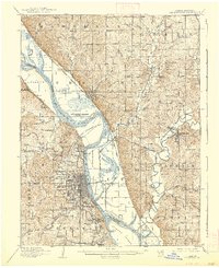
Leavenworth and its surrounding river valley are defined by a complex intersection of military, correctional, and transport infrastructure at the start of the 20th century. The map documents the extensive grounds of Fort Leavenworth, the US Penitentiary Reserve, and the National Military Home, illustrating the federal government's massive footprint in this region. The Missouri River serves as the central artery, its course dotted with features like Kickapoo Island and Stigers Island, while the eastern bank in Missouri reveals the winding path of the Platte River near Platte City.
Find a feature on this map
110 named features on this map. Tap any name to fly to it.
Don’t see what you’re looking for? This feature index may not catch every label — zoom into the map to look around manually.
Map Details
Editions of this 1910 Leavenworth Map
8 editions found
Other maps of this area

1885 · Atchison
USGS Topo · 1:125,000

1886 · Oskaloosa
USGS Topo · 1:125,000

1888 · Oskaloosa
USGS Topo · 1:125,000

1888 · Atchison
USGS Topo · 1:125,000

1890 · Kansas City
USGS Topo · 1:125,000

1893 · Atchison
USGS Topo · 1:125,000

1894 · Kansas City
USGS Topo · 1:125,000

1894 · Oskaloosa
USGS Topo · 1:125,000

1910 · Leavenworth
USGS Topo · 1:62,500

1914 · Smithville
USGS Topo · 1:62,500