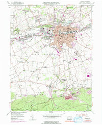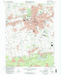
2023 Map of Lebanon
USGS Topo · Published 2023About this map
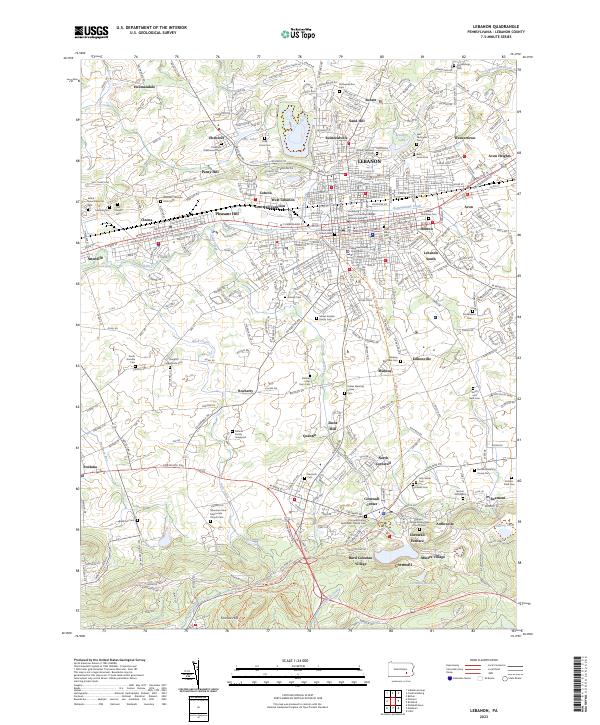
Cornwall Furnace anchors the southern portion of this region, a site deeply tied to the industrial roots of Lebanon County. The landscape transition from the residential and commercial hub of Lebanon—marked by the Lebanon County Courthouse—to the specialized worker enclaves of Miners Village and Burd Coleman Village illustrates the area's history of iron and mineral extraction. Waterways like Quittapahilla Creek and Snitz Creek move through a terrain dotted with numerous family and denominational burial grounds, such as the Moses Kreider Family Cem and the Hebron Moravian Cem. The conversion of older transport corridors is visible in the Lebanon Valley Rail Trl, which follows the path of former railroad lines through Annville and Cleona. This survey provides a contemporary perspective on the intersection of Pennsylvania's colonial heritage and modern suburban development.
Find a feature on this map
86 named features on this map. Tap any name to fly to it.
Don’t see what you’re looking for? This feature index may not catch every label — zoom into the map to look around manually.
Map Details
Editions of this 2023 Lebanon Map
This is the sole edition of this map. No revisions or reprints were ever made.
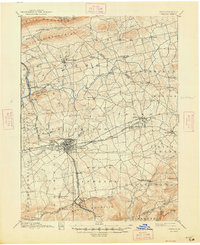
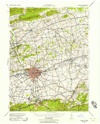
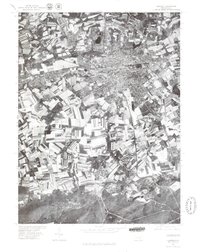
Historical Maps of Anthracite Through Time
8 maps found