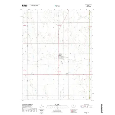
2018 Map of Lebanon
USGS Topo · Published 2018About this map
Lebanon serves as the central hub of this Smith County landscape, where the town’s grid is defined by streets like Chicago Ave and Kansas Ave running alongside the tracks at N Railway Ave. The surrounding rural territory is segmented by a precise section-line road system including 100 Rd and 180 Rd, which navigate the various drainage basins of the region. A network of small waterways, such as Middle Oak Creek and Porcupine Creek, carve through the terrain, while the eastern edge is marked by the Smith and Jewell County line.
Find a feature on this map
50 named features on this map. Tap any name to fly to it.
Don’t see what you’re looking for? This feature index may not catch every label — zoom into the map to look around manually.
Map Details
Editions of this 2018 Lebanon Map
This is the sole edition of this map. No revisions or reprints were ever made.
Other maps of this area

1893 · Smith Center
USGS Topo · 1:125,000

1894 · Mankato
USGS Topo · 1:125,000

1955 · Beloit
USGS Topo · 1:250,000

1959 · Beloit
USGS Topo · 1:250,000
1968 · Burr Oak NW
USGS Topo · 1:24,000
1969 · Cawker City NW
USGS Topo · 1:24,000
1969 · Esbon
USGS Topo · 1:24,000
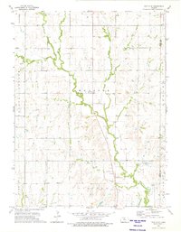
1973 · Portis NE
USGS Topo · 1:24,000
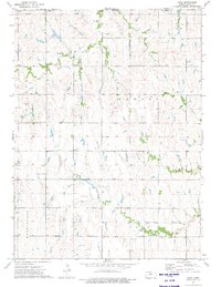
1973 · Cora
USGS Topo · 1:24,000
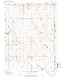
1973 · Mc Cracken Branch
USGS Topo · 1:24,000