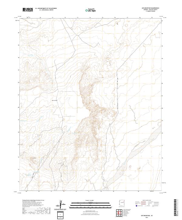
2021 Map of Lee Mountain
USGS Topo · Published 2021About this map
Marcou Mesa dominates the central landscape of this Navajo County quadrangle, where a complex network of ephemeral drainage systems defines the high desert terrain. The map details a rugged topography of ridges and draws, most notably around Lee Mtn, which rises above a series of stock-watering features like the Lee Mountain Tanks. This 2021 survey illustrates how water management is critical in this arid environment, capturing several named catchment points such as Badland Tank.
Find a feature on this map
13 named features on this map. Tap any name to fly to it.
Don’t see what you’re looking for? This feature index may not catch every label — zoom into the map to look around manually.
Map Details
Editions of this 2021 Lee Mountain Map
This is the sole edition of this map. No revisions or reprints were ever made.
Other maps of this area

1883 · Tusayan
USGS Topo · 1:250,000

1886 · Tusayan
USGS Topo · 1:250,000

1886 · Holbrook
USGS Topo · 1:250,000

1893 · Holbrook
USGS Topo · 1:250,000

1947 · Flagstaff
USGS Topo · 1:250,000

1954 · Flagstaff
USGS Topo · 1:250,000

1954 · Holbrook
USGS Topo · 1:250,000

1955 · St. Joseph 1 NE
USGS Topo · 1:24,000

1955 · St. Joseph 1 NW
USGS Topo · 1:24,000
1955 · St. Joseph 2 NE
USGS Topo · 1:24,000