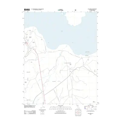
2012 Map of Lee Vining
USGS Topo · Published 2012About this map
The settlement of Lee Vining sits at the base of the Sierra Nevada range, serving as a gateway to the alkaline waters of Mono Lake. This 2012 survey illustrates the distinct volcanic and geological features of the Mono Basin, where the stark topography of North Crater and Panum Crater rise from the floor of Pumice Valley. The map details the complex shoreline of the lake, including the South Tufa Area and Navy Beach, highlighting the region's unique tufa formations.
Find a feature on this map
35 named features on this map. Tap any name to fly to it.
Don’t see what you’re looking for? This feature index may not catch every label — zoom into the map to look around manually.
Map Details
Editions of this 2012 Lee Vining Map
This is the sole edition of this map. No revisions or reprints were ever made.
Other maps of this area

1901 · Mt. Lyell
USGS Topo · 1:125,000

1909 · Hawthorne
USGS Topo · 1:250,000

1909 · Bridgeport
USGS Topo · 1:125,000

1911 · Bridgeport
USGS Topo · 1:125,000

1911 · Hawthorne
USGS Topo · 1:250,000

1914 · Mt. Morrison
USGS Topo · 1:125,000

1915 · Hawthorne
USGS Topo · 1:250,000

1920 · Bridgeport
USGS Topo · 1:125,000

1947 · Mariposa
USGS Topo · 1:250,000

1948 · Walker Lake
USGS Topo · 1:250,000