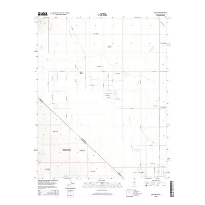
2014 Map of Leeland
USGS Topo · Published 2014About this map
The Amargosa River cuts a subtle path through the arid landscapes of the Amargosa Desert and Mojave Desert on this 2014 survey. The map details a unique intersection of state and county boundaries where Nevada and California meet, and the corner of Nye County touches Inyo County. This desert expanse includes the eastern reaches of Death Valley National Park, transitioning from the high-desert plains into the more complex terrain of the park's interior. A sparse grid of roads, such as Mojave Rd and W Frontier St, radiates from the small settlement of Leeland, illustrating the modern human footprint in a region defined by its vastness and the intermittent drainage of Fortymile Wash. This sheet is particularly useful for understanding the boundary-layer land use between protected parkland and the desert flats.
Find a feature on this map
53 named features on this map. Tap any name to fly to it.
Don’t see what you’re looking for? This feature index may not catch every label — zoom into the map to look around manually.
Map Details
Editions of this 2014 Leeland Map
This is the sole edition of this map. No revisions or reprints were ever made.
Other maps of this area

1908 · Furnace Creek
USGS Topo · 1:250,000

1910 · Furnace Creek
USGS Topo · 1:250,000

1942 · Skull Mountain
USGS Topo · 1:125,000

1942 · Bullfrog
USGS Topo · 1:125,000

1948 · Death Valley
USGS Topo · 1:250,000

1952 · Ash Meadows
USGS Topo · 1:62,500

1952 · Ryan
USGS Topo · 1:62,500

1952 · Big Dune
USGS Topo · 1:62,500

1954 · Death Valley
USGS Topo · 1:250,000

1956 · Death Valley
USGS Topo · 1:250,000