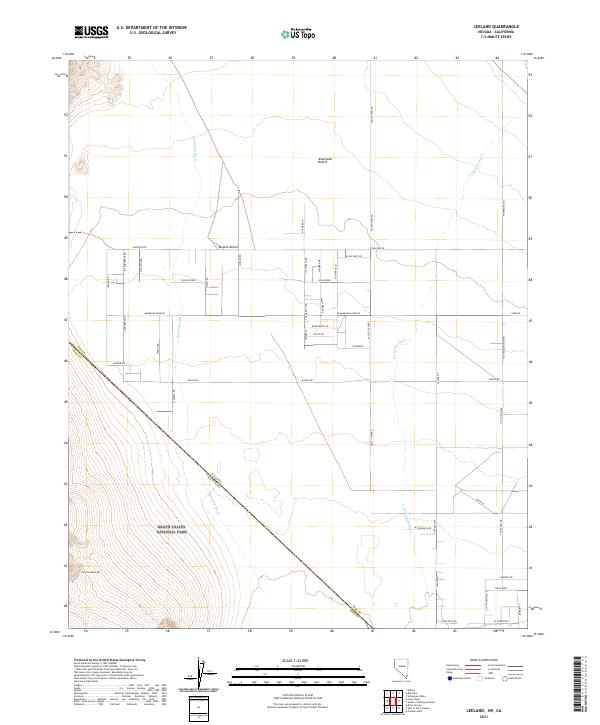
2021 Map of Leeland
USGS Topo · Published 2021About this map
Death Valley National Park occupies the southwestern corner of this desert landscape, where the rugged slopes of the Funeral Mountains descend toward the basin. The terrain is a meeting point of the Amargosa Desert and the Mojave Desert, defined by the ephemeral courses of the Amargosa River and Fortymile Wash. The map reveals a deliberate grid of rural development north of the park boundary, characterized by long, straight thoroughfares like Amargosa Farm Rd and Frontier Rd.
Find a feature on this map
57 named features on this map. Tap any name to fly to it.
Don’t see what you’re looking for? This feature index may not catch every label — zoom into the map to look around manually.
Map Details
Editions of this 2021 Leeland Map
This is the sole edition of this map. No revisions or reprints were ever made.
Other maps of this area

1908 · Furnace Creek
USGS Topo · 1:250,000

1910 · Furnace Creek
USGS Topo · 1:250,000

1942 · Skull Mountain
USGS Topo · 1:125,000

1942 · Bullfrog
USGS Topo · 1:125,000

1948 · Death Valley
USGS Topo · 1:250,000

1952 · Ash Meadows
USGS Topo · 1:62,500

1952 · Ryan
USGS Topo · 1:62,500

1952 · Big Dune
USGS Topo · 1:62,500

1954 · Death Valley
USGS Topo · 1:250,000

1956 · Death Valley
USGS Topo · 1:250,000