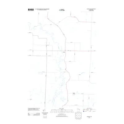
2013 Map of Leeman
USGS Topo · Published 2013About this map
The Wolf River defines the landscape of this central Wisconsin area, its winding oxbows and complex hydrology carving a deep path through the terrain. The small settlement of Leeman sits as a primary point of reference along Wi-187, where several regional routes like Wi-168 and Wi-156 converge. This 2013 survey illustrates the modern transportation network that services the agricultural and wooded areas, including the Wolf River Landing Strip Airport located near the southern bend of the river. A dense grid of rural roads, many bearing family names such as Peeters Rd, Eskman Rd, and Schinke Rd, provides a clear view of the contemporary land divisions and residency patterns. The Shioc River appears in the southeastern corner, further emphasizing the importance of river systems to the local geography of Shawano County.
Find a feature on this map
30 named features on this map. Tap any name to fly to it.
Don’t see what you’re looking for? This feature index may not catch every label — zoom into the map to look around manually.
Map Details
Editions of this 2013 Leeman Map
This is the sole edition of this map. No revisions or reprints were ever made.
Other maps of this area

1955 · Embarrass
USGS Topo · 1:48,000

1955 · Appleton
USGS Topo · 1:62,500

1955 · Seymour
USGS Topo · 1:62,500

1955 · Green Bay
USGS Topo · 1:250,000

1956 · New London
USGS Topo · 1:48,000

1969 · New London
USGS Topo · 1:24,000

1969 · Leeman
USGS Topo · 1:24,000

1969 · Embarrass
USGS Topo · 1:24,000

1969 · Lunds
USGS Topo · 1:24,000

1969 · Bear Creek
USGS Topo · 1:24,000