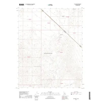
2018 Map of Lees Camp
USGS Topo · Published 2018About this map
Lees Camp stands as a primary focal point within this desert landscape, situated at the boundary where the Mojave Desert meets the eastern reaches of Death Valley National Park. The terrain is defined by the significant rise of the Funeral Mountains, which dominate the southwestern portion of the sheet. This 2018 survey captures the intersection of the Nevada and California state line and the border between Nye and Inyo Counties, illustrating the administrative complexities of managing this arid expanse.
Find a feature on this map
10 named features on this map. Tap any name to fly to it.
Don’t see what you’re looking for? This feature index may not catch every label — zoom into the map to look around manually.
Map Details
Editions of this 2018 Lees Camp Map
This is the sole edition of this map. No revisions or reprints were ever made.
Other maps of this area

1908 · Furnace Creek
USGS Topo · 1:250,000

1910 · Furnace Creek
USGS Topo · 1:250,000

1942 · Bullfrog
USGS Topo · 1:125,000

1948 · Death Valley
USGS Topo · 1:250,000

1952 · Chloride Cliff
USGS Topo · 1:50,000

1952 · Furnace Creek
USGS Topo · 1:62,500

1952 · Ryan
USGS Topo · 1:62,500

1952 · Big Dune
USGS Topo · 1:62,500

1954 · Death Valley
USGS Topo · 1:250,000

1956 · Death Valley
USGS Topo · 1:250,000