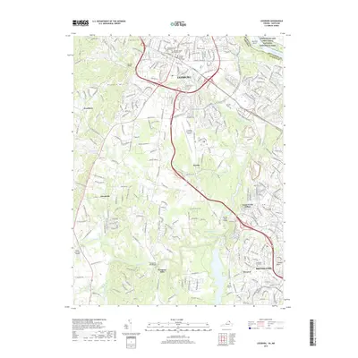
2019 Map of Leesburg
USGS Topo · Published 2019About this map
The Loudoun County Courthouse serves as the focal point for Leesburg, a community where modern suburban expansion meets deep-rooted history. To the north, the Potomac River forms the boundary between Virginia and Maryland, with Harrison Island and the Chesapeake and Ohio Canal National Historical Park visible along the northern edge. Local history and genealogy are preserved in sites like the Old Stone Church Methodist Cem and the Old Saint James' Episcopal Cem near the town center.
Find a feature on this map
266 named features on this map. Tap any name to fly to it.
Don’t see what you’re looking for? This feature index may not catch every label — zoom into the map to look around manually.
Map Details
Editions of this 2019 Leesburg Map
This is the sole edition of this map. No revisions or reprints were ever made.
Other maps of this area

1884 · Harpers Ferry
USGS Topo · 1:125,000

1890 · Mt. Vernon
USGS Topo · 1:125,000

1891 · Harpers Ferry
USGS Topo · 1:125,000

1891 · Mt. Vernon
USGS Topo · 1:125,000

1893 · Frederick
USGS Topo · 1:125,000

1893 · Harpers Ferry
USGS Topo · 1:125,000

1894 · Warrenton
USGS Topo · 1:125,000

1894 · Frederick
USGS Topo · 1:125,000

1894 · Mt. Vernon
USGS Topo · 1:125,000

1897 · Mt. Vernon
USGS Topo · 1:125,000