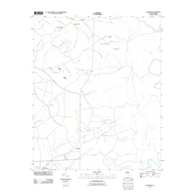
2011 Map of Leesburg
USGS Topo · Published 2011About this map
The Wateree River defines the eastern edge of this landscape, while the settlement of Leesburg anchors the southern interior. This 2011 survey reveals a region characterized by numerous small drainages and ponds, such as English Pond, Chaver Pond, and Murray Pond, which punctuate the woodlands and fields. Local history and genealogy researchers will find significant landmarks including Mount Prospect Cemetery and Prospect Cemetery located near Dunns Mount. The map also details early industrial remnants like Wilson Mill Pond and the Wilson Mill Pond D-0594 Dam along Jumping Run Creek. A network of rural routes, from Ancrum Ferry Rd to Screaming Eagle Rd, connects scattered communities like McCaskill, Meadow View, and Cedar Creek, providing a clear view of the area's residential development and land use in the early 21st century.
Find a feature on this map
65 named features on this map. Tap any name to fly to it.
Don’t see what you’re looking for? This feature index may not catch every label — zoom into the map to look around manually.
Map Details
Editions of this 2011 Leesburg Map
This is the sole edition of this map. No revisions or reprints were ever made.
Other maps of this area

1935 · Killian
USGS Topo · 1:48,000

1937 · Killian
USGS Topo · 1:62,500

1938 · Hagood
USGS Topo · 1:62,500

1941 · Spartanburg
USGS Topo · 1:250,000

1942 · Camden
USGS Topo · 1:125,000

1943 · Eastover
USGS Topo · 1:62,500

1948 · Hopkins
USGS Topo · 1:62,500

1953 · Camden South
USGS Topo · 1:24,000

1953 · Messers Pond
USGS Topo · 1:24,000

1953 · Eastover
USGS Topo · 1:24,000