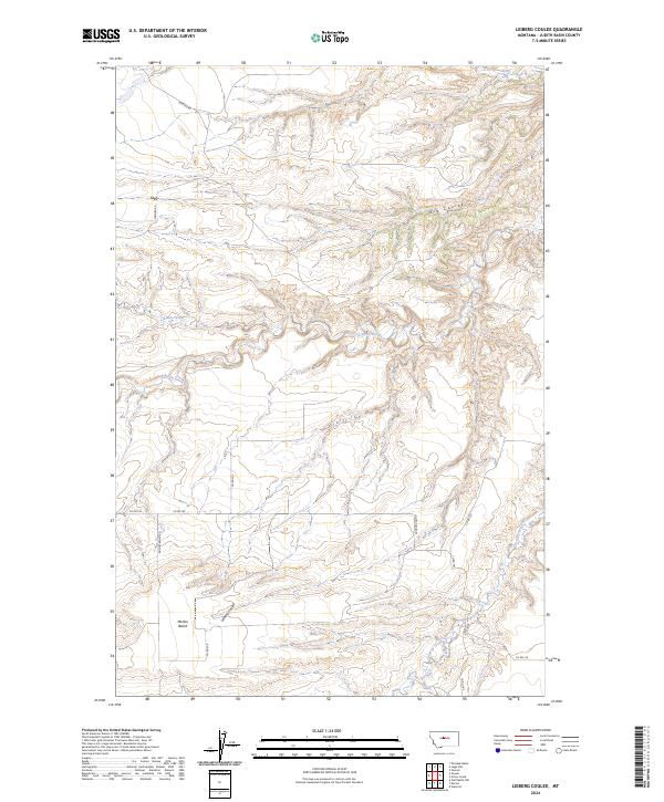
2024 Map of Leiberg Coulee
USGS Topo · Published 2024About this map
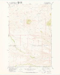
Arrow Creek meanders through this portion of Judith Basin, carving a landscape defined by sharp elevation shifts and expansive plateaus. The topography is dominated by the prominent Merino Bench, a high flatland in the southwest that stands in contrast to the deep incision of Leiberg Coulee. This area illustrates the classic drainages of central Montana, where watercourses like Big Coulee and Surprise Creek have cut significant relief into the high plains. A sparse network of rural routes, including Merino Bench Rd and Sourdough Rd, follows the natural contours of the land, connecting disparate sections of the Public Land Survey System. The map reveals the intricate drainage patterns of Braun Creek and Davis Creek as they feed into larger regional watersheds, providing a detailed look at the hydrology that shaped this ranching and agricultural territory.
Find a feature on this map
22 named features on this map. Tap any name to fly to it.
Don’t see what you’re looking for? This feature index may not catch every label — zoom into the map to look around manually.
Map Details
Editions of this 2024 Leiberg Coulee Map
This is the sole edition of this map. No revisions or reprints were ever made.
Other maps of this area

1890 · Fort Benton
USGS Topo · 1:250,000

1892 · Fort Benton
USGS Topo · 1:250,000

1897 · Fort Benton
USGS Topo · 1:250,000

1954 · Great Falls
USGS Topo · 1:250,000

1957 · Great Falls
USGS Topo · 1:250,000

1978 · Leiberg Coulee
USGS Topo · 1:24,000
1978 · Merino
USGS Topo · 1:24,000
1978 · Stanford
USGS Topo · 1:24,000
1979 · Palisade Butte
USGS Topo · 1:24,000
1979 · Jiggs Flat
USGS Topo · 1:24,000