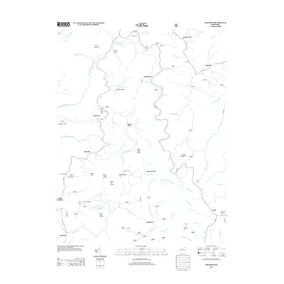
2013 Map of Leighton
USGS Topo · Published 2013About this map
Station Camp Creek and its many forks define the geography of this Jackson County region, where isolated settlements like Lynch Town and Drip Rock are connected by winding mountain roads. The presence of two fire watch stations, Drip Rock Lookout Tower and Old Orchard Lookout Tower, highlights the forested and elevated nature of the terrain near Wilson Mountain and Brushy Mountain. Local genealogy is well-documented through numerous family-named burial grounds, including the Marcum, Estes, and Durbin cemeteries.
Find a feature on this map
70 named features on this map. Tap any name to fly to it.
Don’t see what you’re looking for? This feature index may not catch every label — zoom into the map to look around manually.
Map Details
Editions of this 2013 Leighton Map
This is the sole edition of this map. No revisions or reprints were ever made.
Other maps of this area

1891 · Manchester
USGS Topo · 1:125,000

1892 · Richmond
USGS Topo · 1:125,000

1892 · Beattyville
USGS Topo · 1:125,000

1893 · London
USGS Topo · 1:125,000

1897 · Richmond
USGS Topo · 1:125,000

1897 · London
USGS Topo · 1:125,000

1952 · Alcorn
USGS Topo · 1:24,000

1952 · Leighton
USGS Topo · 1:24,000

1952 · Cobhill
USGS Topo · 1:24,000

1952 · Heidelberg
USGS Topo · 1:24,000