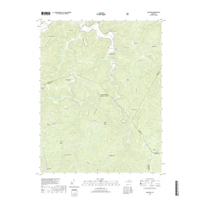
2019 Map of Leighton
USGS Topo · Published 2019About this map
The hills of the Daniel Boone National Forest dominate this 2019 survey, where the border of Estill and Jackson counties follows the winding course of Station Camp Creek. Small, dispersed settlements like Drip Rock and Alumbaugh are connected by narrow roads following the hollows and ridges of the Kentucky landscape. For family historians, this map provides an exceptional density of family-named burial sites, including Gabbard Cem, Flynn Cem, and James Scrivner Cem, suggesting deep multi-generational roots in the area. The terrain is marked by distinctive karst features, most notably Wind Cave and Wind Cave (mine), while landmarks like Cedar Point Ridge and Wilson Mtn define the local topography. This document preserves the modern distribution of these rural communities as they intersect with federal forest lands and rugged stream systems.
Find a feature on this map
76 named features on this map. Tap any name to fly to it.
Don’t see what you’re looking for? This feature index may not catch every label — zoom into the map to look around manually.
Map Details
Editions of this 2019 Leighton Map
This is the sole edition of this map. No revisions or reprints were ever made.
Other maps of this area

1891 · Manchester
USGS Topo · 1:125,000

1892 · Richmond
USGS Topo · 1:125,000

1892 · Beattyville
USGS Topo · 1:125,000

1893 · London
USGS Topo · 1:125,000

1897 · Richmond
USGS Topo · 1:125,000

1897 · London
USGS Topo · 1:125,000

1952 · Alcorn
USGS Topo · 1:24,000

1952 · Leighton
USGS Topo · 1:24,000

1952 · Cobhill
USGS Topo · 1:24,000

1952 · Heidelberg
USGS Topo · 1:24,000