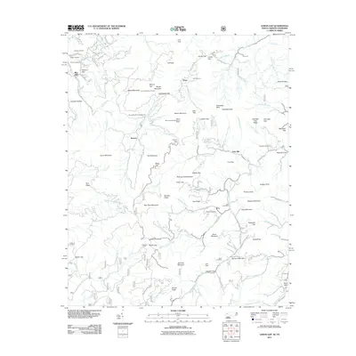
2011 Map of Lemon Gap
USGS Topo · Published 2011About this map
Max Patch Mountain and the surrounding high ridges of the Tennessee and North Carolina border define this 2011 survey. The landscape is marked by a network of gaps and coves, including Lemon Gap, Brown Gap, and Beasley Cove, where small settlements and family holdings once centered on local water sources like Spring Creek and the Roaring Fork. The map documents a transition in land use, showing both the preservation of traditional sites and the growth of recreational infrastructure.
Find a feature on this map
116 named features on this map. Tap any name to fly to it.
Don’t see what you’re looking for? This feature index may not catch every label — zoom into the map to look around manually.
Map Details
Editions of this 2011 Lemon Gap Map
This is the sole edition of this map. No revisions or reprints were ever made.
Other maps of this area

1893 · Mt Guyot
USGS Topo · 1:125,000

1894 · Asheville
USGS Topo · 1:125,000

1901 · Asheville
USGS Topo · 1:125,000

1912 · Mt Guyot
USGS Topo · 1:125,000

1935 · Newport
USGS Topo · 1:48,000

1935 · Paint Rock
USGS Topo · 1:24,000

1935 · Neddy Mountain
USGS Topo · 1:24,000

1935 · Hot Springs
USGS Topo · 1:24,000

1935 · Spring Creek
USGS Topo · 1:24,000

1935 · Lemon Gap
USGS Topo · 1:24,000