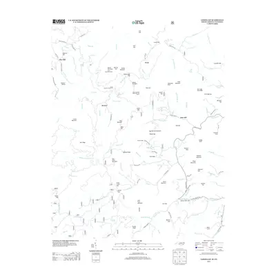
2013 Map of Lemon Gap
USGS Topo · Published 2013About this map
Max Patch Mountain and the high ridges along the North Carolina and Tennessee border define this landscape of gaps and mountain settlements. This 2013 survey identifies a topography centered on the Appalachian Trail, which winds through the center of the sheet past the Walnut Mountain Appalachian Trail Shelter. Historically significant mills, including Blue Mill in the northwest and Ebbs Mill to the east, suggest the community focal points that developed near water sources like Lemon Prong and Meadow Fork. The map documents a network of named coves such as Beasley Cove and Davis Cove, alongside small mountain communities like Boomer and Wasp. From the Round Mountain Campground to numerous high points like Bluff Mountain and Rich Mountain, the geography illustrates a region where life was traditionally organized around high-elevation passes and creek drainage basins.
Find a feature on this map
132 named features on this map. Tap any name to fly to it.
Don’t see what you’re looking for? This feature index may not catch every label — zoom into the map to look around manually.
Map Details
Editions of this 2013 Lemon Gap Map
This is the sole edition of this map. No revisions or reprints were ever made.
Other maps of this area

1893 · Mt Guyot
USGS Topo · 1:125,000

1894 · Asheville
USGS Topo · 1:125,000

1901 · Asheville
USGS Topo · 1:125,000

1912 · Mt Guyot
USGS Topo · 1:125,000

1935 · Newport
USGS Topo · 1:48,000

1935 · Paint Rock
USGS Topo · 1:24,000

1935 · Neddy Mountain
USGS Topo · 1:24,000

1935 · Hot Springs
USGS Topo · 1:24,000

1935 · Spring Creek
USGS Topo · 1:24,000

1935 · Lemon Gap
USGS Topo · 1:24,000