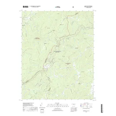
2019 Map of Lemon Gap
USGS Topo · Published 2019About this map
The borderlands of the Cherokee National Forest and Pisgah National Forest meet in this high-altitude survey of the Tennessee and North Carolina state line. The landscape is defined by its numerous gaps and hollows, where small settlements like Blue Mill and Ebbs Mill historically relied on local water power from drainages such as Roaring Fork and Laurel Cr. This area is characterized by a network of horse trails, including Buckeye Ridge Horse and Cherry Ridge Horse, which intersect with the Appalachian National Scenic Trail as it winds across high points like Bluff Mt. Genealogists will find several family burial grounds scattered across the terrain, including Crowder Cem near Muberry Gap and Huff Cem near the small community of Wasp. The survey preserves the locations of numerous landmarks like Max Patch and Rattlesnake Gap, illustrating the remote settlement patterns of the Unaka Mountains before modern development altered these highland corridors.
Find a feature on this map
116 named features on this map. Tap any name to fly to it.
Don’t see what you’re looking for? This feature index may not catch every label — zoom into the map to look around manually.
Map Details
Editions of this 2019 Lemon Gap Map
This is the sole edition of this map. No revisions or reprints were ever made.
Other maps of this area

1893 · Mt Guyot
USGS Topo · 1:125,000

1894 · Asheville
USGS Topo · 1:125,000

1901 · Asheville
USGS Topo · 1:125,000

1912 · Mt Guyot
USGS Topo · 1:125,000

1935 · Newport
USGS Topo · 1:48,000

1935 · Paint Rock
USGS Topo · 1:24,000

1935 · Neddy Mountain
USGS Topo · 1:24,000

1935 · Hot Springs
USGS Topo · 1:24,000

1935 · Spring Creek
USGS Topo · 1:24,000

1935 · Lemon Gap
USGS Topo · 1:24,000