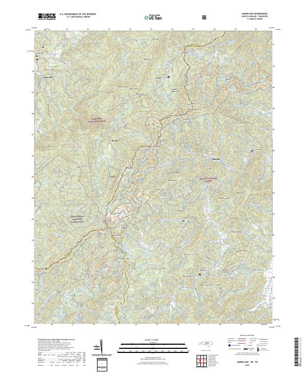
2022 Map of Lemon Gap
USGS Topo · Published 2022About this map
Wasp and Ebbs Mill anchor the mountain landscapes of this contemporary survey, where the borders of Madison Co and Haywood Co meet the Tennessee state line. The topography is defined by high-elevation landmarks like Max Patch Mtn and Walnut Mtn, which serve as significant waypoints along the Appalachian National Scenic Trail. The map documents a rugged interior crisscrossed by a dense network of forest paths and horse trails, including the Buckeye Ridge Horse Trail and Cherry Ridge Horse Trail. Scattered family cemeteries such as Crowder Cem and Reynolds Cem provide tangible links to the early mountain families who settled these deep hollows. This record of the Cherokee National Forest and Pisgah National Forest illustrates a modern balance between conserved wilderness and historic settlement patterns.
Find a feature on this map
124 named features on this map. Tap any name to fly to it.
Don’t see what you’re looking for? This feature index may not catch every label — zoom into the map to look around manually.
Map Details
Editions of this 2022 Lemon Gap Map
This is the sole edition of this map. No revisions or reprints were ever made.
Other maps of this area

1893 · Mt Guyot
USGS Topo · 1:125,000

1894 · Asheville
USGS Topo · 1:125,000

1901 · Asheville
USGS Topo · 1:125,000

1912 · Mt Guyot
USGS Topo · 1:125,000

1935 · Newport
USGS Topo · 1:48,000

1935 · Paint Rock
USGS Topo · 1:24,000

1935 · Neddy Mountain
USGS Topo · 1:24,000

1935 · Hot Springs
USGS Topo · 1:24,000

1935 · Spring Creek
USGS Topo · 1:24,000

1935 · Lemon Gap
USGS Topo · 1:24,000