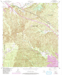
1954 Map of Lena
USGS Topo · Published 1992About this map
Cane River and the Texas and Pacific railroad corridor define the northern movement of this mid-century Louisiana landscape. The rail line serves small stops like Galbraith Station and the settlement of Lena, while an Old RR Grade elsewhere suggests the shifting patterns of transportation in the parish. Much of the area's social fabric is anchored by rural landmarks such as Wise Memorial Church and its associated Wise Memorial Church Cem, alongside other family-named sites like Calvert Cemetery and the Carnahan Cemetery. To the south, the terrain descends toward Bayou Castor and the large expanse of Lake Rodemacher, reflecting the importance of water management and natural drainage in Natchitoches and Rapides Parishes. Small communities like Flatwoods and Sharp persist in the lower elevations, connected by a network of winding roads and local churches.
Find a feature on this map
36 named features on this map. Tap any name to fly to it.
Don’t see what you’re looking for? This feature index may not catch every label — zoom into the map to look around manually.
Map Details
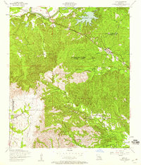
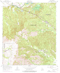
Editions of this 1954 Lena Map
3 editions found
Other maps of this area

1932 · Boyce SW
USGS Topo · 1:31,680

1932 · Colfax SW
USGS Topo · 1:31,680

1936 · Colfax
USGS Topo · 1:62,500

1937 · Chopin NE
USGS Topo · 1:31,680

1937 · Chopin SW
USGS Topo · 1:31,680

1937 · Chopin NW
USGS Topo · 1:31,680

1937 · Aloha
USGS Topo · 1:31,680

1937 · Montgomery
USGS Topo · 1:62,500

1937 · Chopin SE
USGS Topo · 1:31,680

1937 · Cloutierville
USGS Topo · 1:31,680