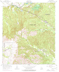
1954 Map of Lena
USGS Topo · Published 1977About this map
The Cane River corridor and its associated bottomlands define the northern reaches of this Louisiana landscape, where the Texas and Pacific railroad established a transit spine through the parishes. Small rural settlements like Lena and Chopin serve as anchors for a dispersed network of farmsteads and rural institutions. The map records several family and community landmarks, including the Holy Family Church, Damascus Church, and Bay Spring Cemetery, which are vital for genealogical research in this region.
Find a feature on this map
42 named features on this map. Tap any name to fly to it.
Don’t see what you’re looking for? This feature index may not catch every label — zoom into the map to look around manually.
Map Details
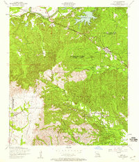
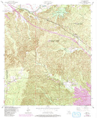
Editions of this 1954 Lena Map
3 editions found
Other maps of this area

1932 · Boyce SW
USGS Topo · 1:31,680

1932 · Colfax SW
USGS Topo · 1:31,680

1936 · Colfax
USGS Topo · 1:62,500

1937 · Chopin NE
USGS Topo · 1:31,680

1937 · Chopin SW
USGS Topo · 1:31,680

1937 · Chopin NW
USGS Topo · 1:31,680

1937 · Aloha
USGS Topo · 1:31,680

1937 · Montgomery
USGS Topo · 1:62,500

1937 · Chopin SE
USGS Topo · 1:31,680

1937 · Cloutierville
USGS Topo · 1:31,680