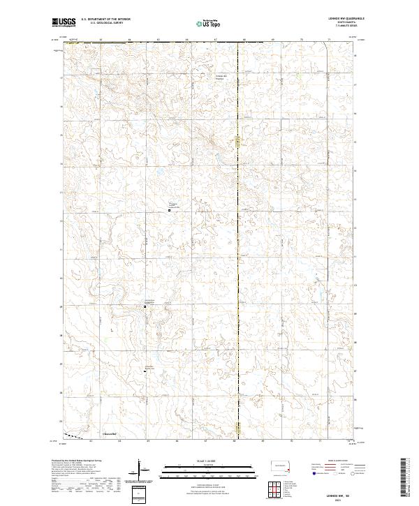
2021 Map of Lennox NW
USGS Topo · Published 2021About this map
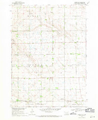
The northern reaches of Chancellor anchor this rural landscape in Turner County, situated along the eastern edge of the Coteau des Prairies. This geographic plateau influences the drainage of the region, where the winding courses of Long Cr and Beaver Cr cut through the sections of farmland. The settlement pattern remains largely dictated by the rectangular survey system, with a network of section-line roads like 462nd Ave and 270th St providing access to the interior prairies.
Find a feature on this map
28 named features on this map. Tap any name to fly to it.
Don’t see what you’re looking for? This feature index may not catch every label — zoom into the map to look around manually.
Map Details
Editions of this 2021 Lennox NW Map
This is the sole edition of this map. No revisions or reprints were ever made.
Historical Maps of Perry Township Through Time
14 maps found
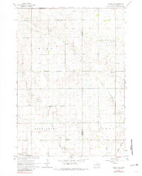
1962 Lennox NW
Turner County, SD
1968 Beresford NW
Turner County, SD
1968 Parker NE
Turner County, SD
1968 Parker SW
Turner County, SD
1970 Center Point
Turner County, SD
1970 Freeman SE
Turner County, SD
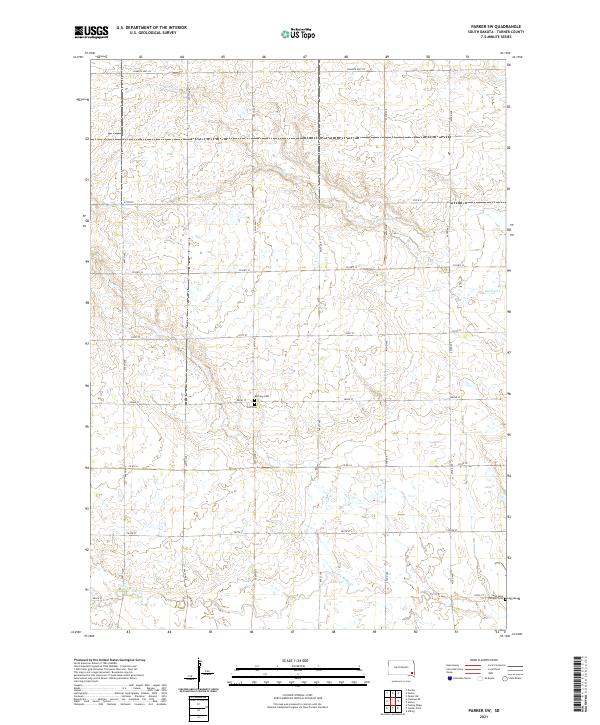
1970 Turkey Ridge
Turner County, SD
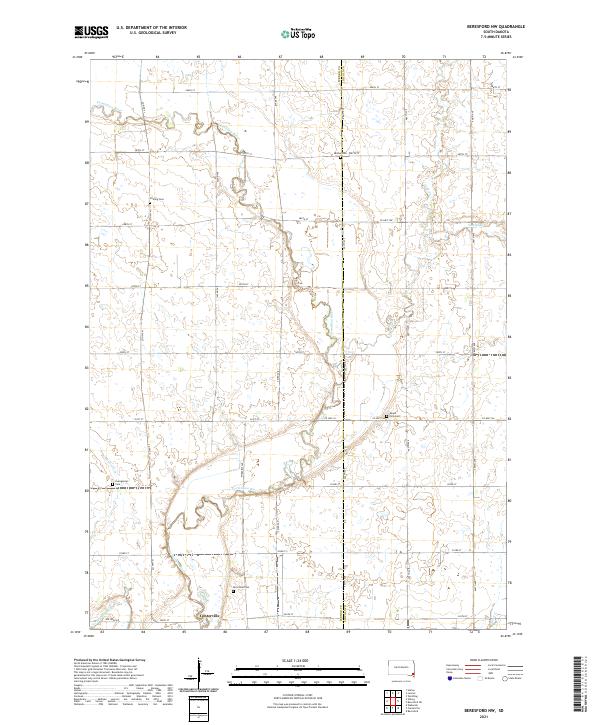
2021 Beresford NW
Turner County, SD
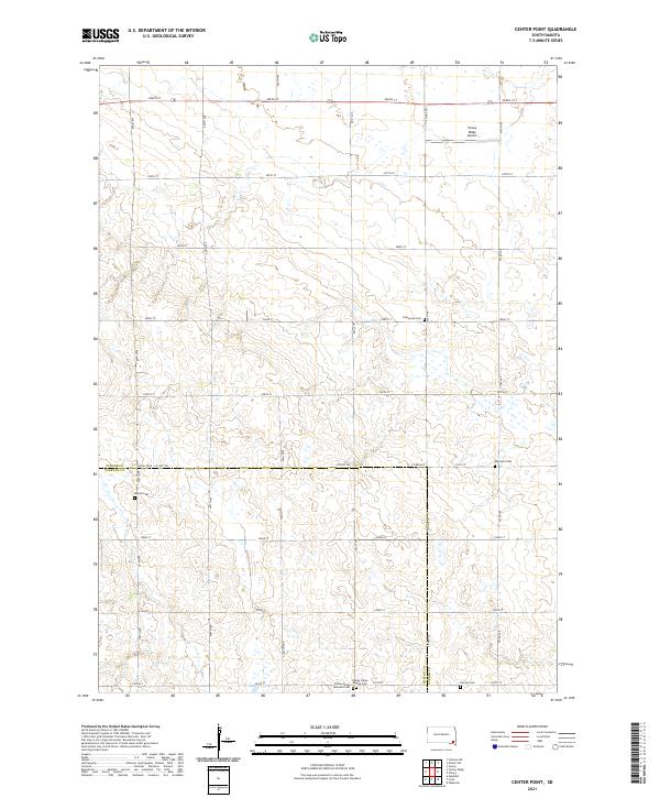
2021 Center Point
Turner County, SD
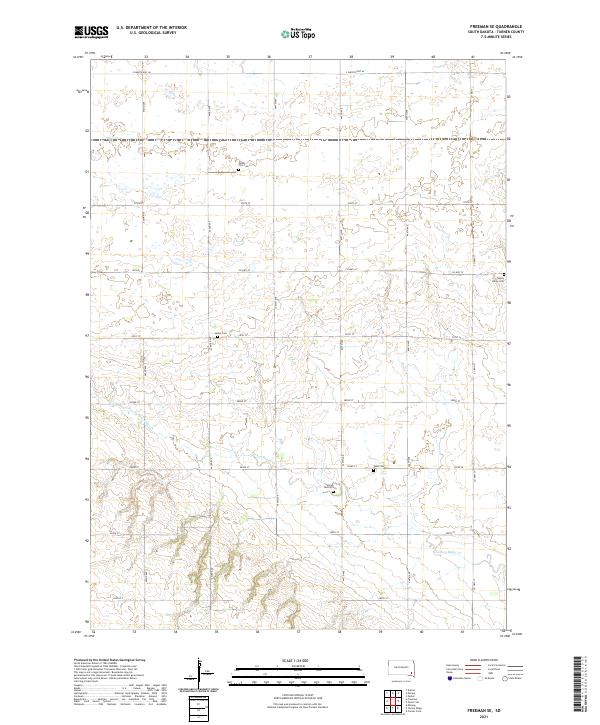
2021 Freeman SE
Turner County, SD
2021 Lennox NW
Turner County, SD
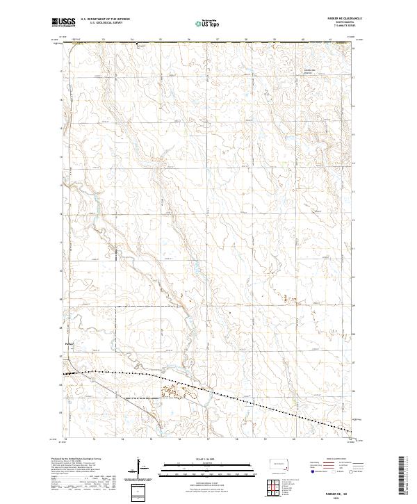
2021 Parker NE
Turner County, SD
2021 Parker SW
Turner County, SD
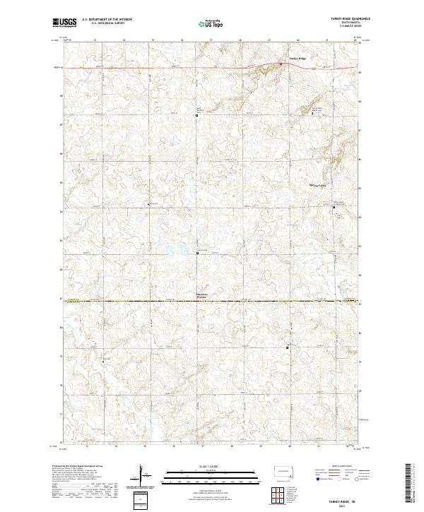
2021 Turkey Ridge
Turner County, SD
Featured Locations
- Wall Lake Township, SD
- Germantown Township, SD
- Home Township, SD
- Perry Township, SD
- Chancellor, Germantown Township