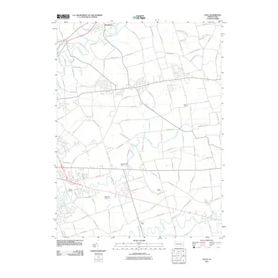
2010 Map of Leola
USGS Topo · Published 2010About this map
Pequea Creek and the Conestoga River anchor this 2010 topographic record of the Lancaster County landscape, where traditional agricultural roots meet modern land use. The map highlights the Amish Village in the southern portion of the quadrangle, illustrating the enduring cultural heritage of the region. Just north of Brownstown, the confluence of Groff Creek and the Conestoga River marks a significant drainage point for the area's rolling farmlands.
Find a feature on this map
95 named features on this map. Tap any name to fly to it.
Don’t see what you’re looking for? This feature index may not catch every label — zoom into the map to look around manually.
Map Details
Editions of this 2010 Leola Map
This is the sole edition of this map. No revisions or reprints were ever made.
Other maps of this area

1902 · Lancaster
USGS Topo · 1:62,500

1904 · Lancaster
USGS Topo · 1:62,500

1906 · New Holland
USGS Topo · 1:62,500

1908 · New Holland
USGS Topo · 1:62,500

1912 · Quarryville
USGS Topo · 1:62,500

1912 · Mc Calls Ferry
USGS Topo · 1:62,500

1941 · New Holland
USGS Topo · 1:62,500

1943 · Lancaster
USGS Topo · 1:62,500

1943 · Quarryville
USGS Topo · 1:62,500

1943 · Mc Calls Ferry
USGS Topo · 1:62,500
Featured Places
- West Lampeter Township, PA
- Leacock, Upper Leacock Township
- Paradise Township, PA
- Brownstown, West Earl Township
- Upper Leacock Township, PA