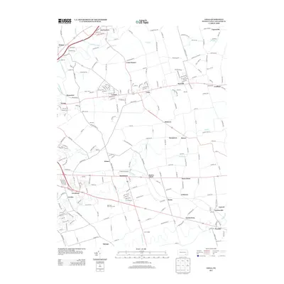
2013 Map of Leola
USGS Topo · Published 2013About this map
Bird in Hand and the surrounding Dutch Country landscape of Lancaster County are defined by a dense network of small settlements and agricultural landmarks. This modern survey illustrates the proximity of historical centers like Soudersburg and Paradise along the primary transportation corridors. The geography is shaped by winding watercourses including the Conestoga River, Pequea Cr, and Mill Cr, which historically powered the region's early milling industry.
Find a feature on this map
232 named features on this map. Tap any name to fly to it.
Don’t see what you’re looking for? This feature index may not catch every label — zoom into the map to look around manually.
Map Details
Editions of this 2013 Leola Map
This is the sole edition of this map. No revisions or reprints were ever made.
Other maps of this area

1902 · Lancaster
USGS Topo · 1:62,500

1904 · Lancaster
USGS Topo · 1:62,500

1906 · New Holland
USGS Topo · 1:62,500

1908 · New Holland
USGS Topo · 1:62,500

1912 · Quarryville
USGS Topo · 1:62,500

1912 · Mc Calls Ferry
USGS Topo · 1:62,500

1941 · New Holland
USGS Topo · 1:62,500

1943 · Lancaster
USGS Topo · 1:62,500

1943 · Quarryville
USGS Topo · 1:62,500

1943 · Mc Calls Ferry
USGS Topo · 1:62,500
Featured Places
- West Lampeter Township, PA
- Leacock, Upper Leacock Township
- Paradise Township, PA
- Brownstown, West Earl Township
- Upper Leacock Township, PA