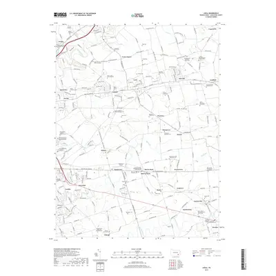
2019 Map of Leola
USGS Topo · Published 2019About this map
The agricultural and religious heritage of Lancaster County is prominent across this landscape, where established settlements like Leola, Bird-in-Hand, and Gordonville anchor a network of rural roads and waterways. Numerous faith-based sites, such as the Groffdale Mennonite Brick Church Cem and the Lampeter Friends Meeting House and Burial Grounds, reflect the deep-rooted denominational history of the region. The map tracks the movement of several significant streams, including Mill Creek, Pequea Creek, and Muddy Run, which cut through the fertile valley. Modern development is visible through institutions like the Pennsylvania College of Health Sciences and the Smoketown Airport, yet the landscape remains characterized by small hamlets like Mascot and Witmer and family-named landmarks such as the Kurtz - Zook - Baer Graveyard.
Find a feature on this map
229 named features on this map. Tap any name to fly to it.
Don’t see what you’re looking for? This feature index may not catch every label — zoom into the map to look around manually.
Map Details
Editions of this 2019 Leola Map
This is the sole edition of this map. No revisions or reprints were ever made.
Other maps of this area

1902 · Lancaster
USGS Topo · 1:62,500

1904 · Lancaster
USGS Topo · 1:62,500

1906 · New Holland
USGS Topo · 1:62,500

1908 · New Holland
USGS Topo · 1:62,500

1912 · Quarryville
USGS Topo · 1:62,500

1912 · Mc Calls Ferry
USGS Topo · 1:62,500

1941 · New Holland
USGS Topo · 1:62,500

1943 · Lancaster
USGS Topo · 1:62,500

1943 · Quarryville
USGS Topo · 1:62,500

1943 · Mc Calls Ferry
USGS Topo · 1:62,500
Featured Places
- West Lampeter Township, PA
- Leacock, Upper Leacock Township
- Paradise Township, PA
- Brownstown, West Earl Township
- Upper Leacock Township, PA