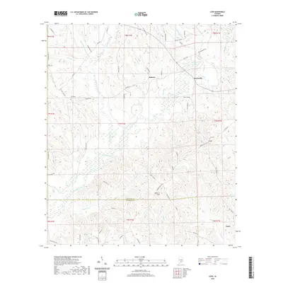
2020 Map of Leon
USGS Topo · Published 2020About this map
Patsaliga Creek and its many tributaries, including Merrill Cr and Chinquapin Cr, dominate this section of the South Alabama landscape near the boundary of Crenshaw and Covington counties. The area is characterized by a network of rural settlements such as Leon, Mulberry, and Merrill Mill, which are connected by a web of local roads including Oakey Streak Rd and Mulberry Rd. Genealogists will find significance in several local burial grounds, specifically Leon Cem, Friendship Cem, and Saint Lukes Cem, which serve as primary markers of the area's established families.
Find a feature on this map
77 named features on this map. Tap any name to fly to it.
Don’t see what you’re looking for? This feature index may not catch every label — zoom into the map to look around manually.
Map Details
Editions of this 2020 Leon Map
This is the sole edition of this map. No revisions or reprints were ever made.
Other maps of this area

1953 · Andalusia
USGS Topo · 1:250,000

1957 · Andalusia
USGS Topo · 1:250,000

1971 · Dozier
USGS Topo · 1:24,000

1971 · Industry
USGS Topo · 1:24,000

1971 · Luverne
USGS Topo · 1:24,000

1971 · Brantley
USGS Topo · 1:24,000

1971 · Pigeon Creek
USGS Topo · 1:24,000

1971 · Gantt
USGS Topo · 1:24,000

1971 · Leon
USGS Topo · 1:24,000

1971 · Red Level
USGS Topo · 1:24,000