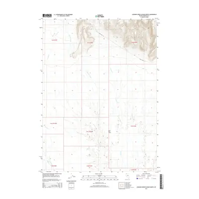
2015 Map of Leonard Creek Slough North
USGS Topo · Published 2015About this map
Black Rock Desert dominates the southern reaches of this corner of Humboldt County, Nevada, where the alkaline flats meet the rising elevation of the northern Great Basin. The landscape is defined by its drainage patterns, most notably the winding course of Leonard Cr Slough and the seasonal flows of Sentinel Cr and Leonard Cr. To the northeast, the terrain shifts dramatically at The Mesa, an elevated landform that overlooks the surrounding basin. Human presence is sparse, evidenced primarily by Leonard Creek Rd and the water management at Montero Reservoir. The map illustrates the transition from the high desert floor to the localized upland features that characterize this arid environment during the early 21st century.
Find a feature on this map
17 named features on this map. Tap any name to fly to it.
Don’t see what you’re looking for? This feature index may not catch every label — zoom into the map to look around manually.
Map Details
Editions of this 2015 Leonard Creek Slough North Map
This is the sole edition of this map. No revisions or reprints were ever made.
Other maps of this area

1886 · Disaster
USGS Topo · 1:250,000

1893 · Disaster
USGS Topo · 1:250,000

1954 · Vya
USGS Topo · 1:250,000

1958 · Vya
USGS Topo · 1:250,000

1962 · Vya
USGS Topo · 1:250,000

1965 · Idaho Canyon
USGS Topo · 1:62,500

1965 · Duffer Peak
USGS Topo · 1:62,500

1972 · Deer Creek Slough
USGS Topo · 1:24,000

1972 · Pinto Mountain
USGS Topo · 1:24,000

1972 · Hobo Canyon
USGS Topo · 1:24,000