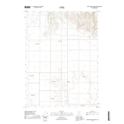
2018 Map of Leonard Creek Slough North
USGS Topo · Published 2018About this map
The Mesa anchors the northern high ground of this desert landscape, where steep contour gradients transition into the eastern reaches of the Black Rock Desert. This area is defined by its drainage systems, with Leonard Creek and Sentinel Creek flowing southward through arid terrain. Human impact on the land is focused on water management and transit, evidenced by the Montero Reservoir tucked into the hills and the primary artery of Leonard Creek Rd cutting across the northern sections. The map reveals the precise township and range boundaries that organize this remote part of Humboldt County, illustrating the intersection of natural topography and legal land subdivision in the Great Basin.
Find a feature on this map
16 named features on this map. Tap any name to fly to it.
Don’t see what you’re looking for? This feature index may not catch every label — zoom into the map to look around manually.
Map Details
Editions of this 2018 Leonard Creek Slough North Map
This is the sole edition of this map. No revisions or reprints were ever made.
Other maps of this area

1886 · Disaster
USGS Topo · 1:250,000

1893 · Disaster
USGS Topo · 1:250,000

1954 · Vya
USGS Topo · 1:250,000

1958 · Vya
USGS Topo · 1:250,000

1962 · Vya
USGS Topo · 1:250,000

1965 · Idaho Canyon
USGS Topo · 1:62,500

1965 · Duffer Peak
USGS Topo · 1:62,500

1972 · Deer Creek Slough
USGS Topo · 1:24,000

1972 · Pinto Mountain
USGS Topo · 1:24,000

1972 · Hobo Canyon
USGS Topo · 1:24,000