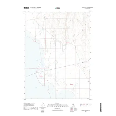
2018 Map of Leonards Hot Springs
USGS Topo · Published 2018About this map
Leonards Hot Springs anchors the northwest corner of this Modoc County landscape, where geothermal activity meets the arid basin of the Surprise Valley. The geography is defined by the sharp transition from the steep eastern slopes of the Warner Mountains down into the expansive, flat bed of Middle Alkali Lake. Drainage patterns like Sand Creek and Sand Cr flow toward the lake bed, while the rugged Fortynine Canyon and its associated Fortynine Cr cut through the terrain to the east. Human presence is sparse and structured around the vast public land survey system, with local access provided by routes such as Co Rd 18 and 49 Rd. The map captures a high-desert environment where water sources, both hot and cold, dictate the few points of interest in an otherwise wide-open ranching and conservation landscape.
Find a feature on this map
13 named features on this map. Tap any name to fly to it.
Don’t see what you’re looking for? This feature index may not catch every label — zoom into the map to look around manually.
Map Details
Editions of this 2018 Leonards Hot Springs Map
This is the sole edition of this map. No revisions or reprints were ever made.
Other maps of this area

1886 · Alturas
USGS Topo · 1:250,000

1889 · Long Valley
USGS Topo · 1:250,000

1892 · Alturas
USGS Topo · 1:250,000

1954 · Vya
USGS Topo · 1:250,000

1954 · Alturas
USGS Topo · 1:250,000

1958 · Alturas
USGS Topo · 1:250,000

1958 · Vya
USGS Topo · 1:250,000

1962 · Alturas
USGS Topo · 1:250,000

1962 · Vya
USGS Topo · 1:250,000

1962 · Cedarville
USGS Topo · 1:62,500