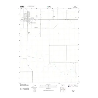
2010 Map of Leoti
USGS Topo · Published 2010About this map
Leoti, the seat of Wichita County, serves as the primary hub of this High Plains landscape, defined by a rigid grid of agricultural roads and the passage of State Hwy 96 and State Hwy 25. The town's organized street plan includes the central Broadway St corridor, while the Leoti Cemetery sits just to the southeast, offering a focused point for genealogical research. To the west of the main settlement lies the Mark Hoard Memorial Airfield, signifying the importance of aerial connectivity in this expansive region.
Find a feature on this map
16 named features on this map. Tap any name to fly to it.
Don’t see what you’re looking for? This feature index may not catch every label — zoom into the map to look around manually.
Map Details
Editions of this 2010 Leoti Map
This is the sole edition of this map. No revisions or reprints were ever made.
Other maps of this area

1939 · Pence
USGS Topo · 1:62,500

1941 · Modoc
USGS Topo · 1:62,500

1941 · Pence
USGS Topo · 1:62,500

1951 · Modoc
USGS Topo · 1:62,500

1955 · Scott City
USGS Topo · 1:250,000

1958 · Scott City
USGS Topo · 1:250,000

1968 · Russell Springs 3 SW
USGS Topo · 1:24,000

1968 · Russell Springs 3 SE
USGS Topo · 1:24,000

1970 · Leoti
USGS Topo · 1:24,000

1970 · Lydia
USGS Topo · 1:24,000