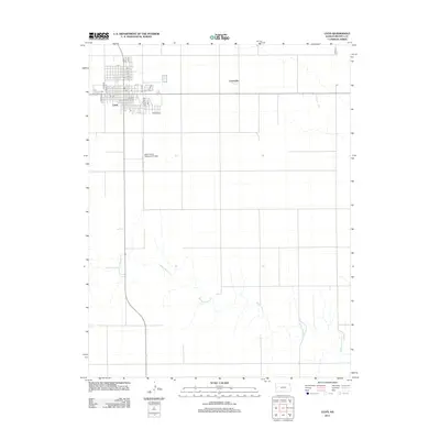
2012 Map of Leoti
USGS Topo · Published 2012About this map
Leoti serves as the primary hub of this Western Kansas landscape, defined by its orderly grid of streets and key civic sites like the Wichita County Fairgrounds. The town's layout, featuring named thoroughfares from A St to Orange St, reflects its role as the administrative and social center for the surrounding plains. Just to the east lies Coronado, a smaller settlement footprint that speaks to the region's historical development and local branching.
Find a feature on this map
27 named features on this map. Tap any name to fly to it.
Don’t see what you’re looking for? This feature index may not catch every label — zoom into the map to look around manually.
Map Details
Editions of this 2012 Leoti Map
This is the sole edition of this map. No revisions or reprints were ever made.
Other maps of this area

1939 · Pence
USGS Topo · 1:62,500

1941 · Modoc
USGS Topo · 1:62,500

1941 · Pence
USGS Topo · 1:62,500

1951 · Modoc
USGS Topo · 1:62,500

1955 · Scott City
USGS Topo · 1:250,000

1958 · Scott City
USGS Topo · 1:250,000

1968 · Russell Springs 3 SW
USGS Topo · 1:24,000

1968 · Russell Springs 3 SE
USGS Topo · 1:24,000

1970 · Leoti
USGS Topo · 1:24,000

1970 · Lydia
USGS Topo · 1:24,000