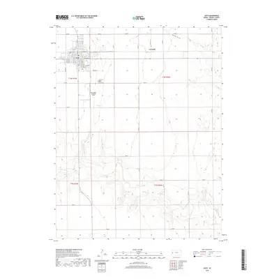
2018 Map of Leoti
USGS Topo · Published 2018About this map
Leoti serves as the central hub of this western Kansas landscape, where the grid of the High Plains meets the winding path of White Woman Cr. The town's organized street system, including Broadway St and Genesee ST, is contrasted by the nearby Coronado settlement and the open reaches of the t18s r37w and t18s r36w townships. Local aviation history is anchored by the Mark Hoard Memorial Airport south of town, while the Leoti Cem provides a point of interest for those researching area families. The southern portion of the quadrangle shows more complex topography as the terrain breaks toward the drainage of Rocky Draw, a stark departure from the tabletop-flat agricultural sections that dominate the northern half of the county.
Find a feature on this map
48 named features on this map. Tap any name to fly to it.
Don’t see what you’re looking for? This feature index may not catch every label — zoom into the map to look around manually.
Map Details
Editions of this 2018 Leoti Map
This is the sole edition of this map. No revisions or reprints were ever made.
Other maps of this area

1939 · Pence
USGS Topo · 1:62,500

1941 · Modoc
USGS Topo · 1:62,500

1941 · Pence
USGS Topo · 1:62,500

1951 · Modoc
USGS Topo · 1:62,500

1955 · Scott City
USGS Topo · 1:250,000

1958 · Scott City
USGS Topo · 1:250,000

1968 · Russell Springs 3 SW
USGS Topo · 1:24,000

1968 · Russell Springs 3 SE
USGS Topo · 1:24,000

1970 · Leoti
USGS Topo · 1:24,000

1970 · Lydia
USGS Topo · 1:24,000