Loading...
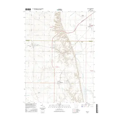
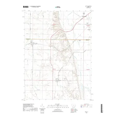
Loading map...2022 Map of Letts
USGS Topo · Published 2022About this map
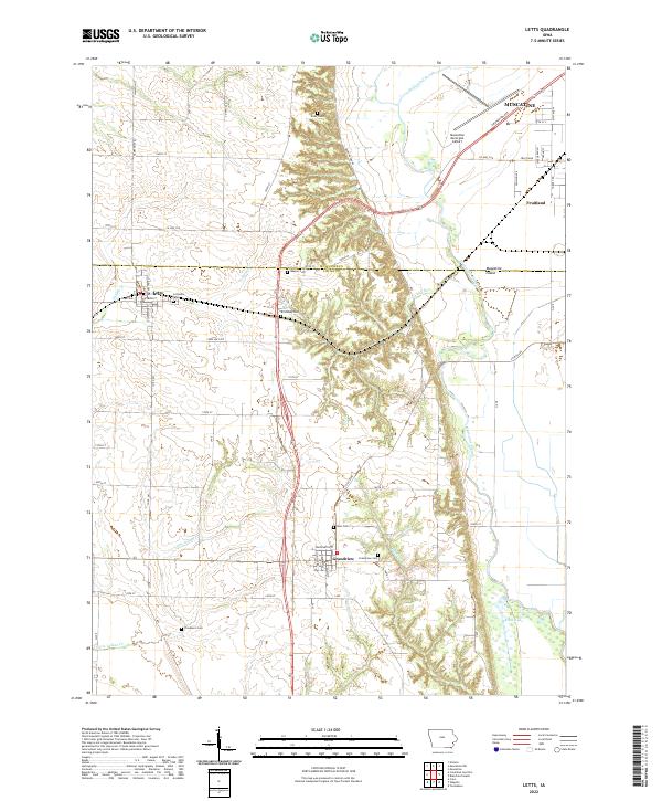
Muscatine Island and the complex hydrology of the Mississippi River floodplain define this landscape on the border of Muscatine and Louisa Counties. The terrain is marked by ancient watercourses and low-lying features like Muscatine Slough and Klum Lake, which run parallel to the modern river valley. This environment shaped the development of agricultural communities like Letts, Fruitland, and Grandview, which are situated on the slightly higher ground above the wetlands.
Find a feature on this map
34 named features on this map. Tap any name to fly to it.
Don’t see what you’re looking for? This feature index may not catch every label — zoom into the map to look around manually.
Map Details
Date Portrayed2022
Date Published2022
PublisherU.S. Geological Survey
Map TypeTopographic
Scale1:24,000
Physical Dimensions24 x 29 inches
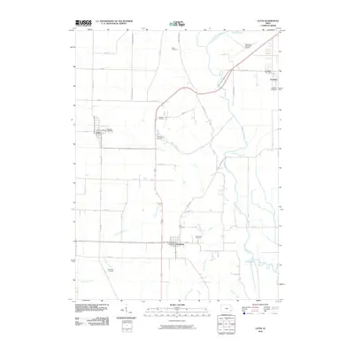
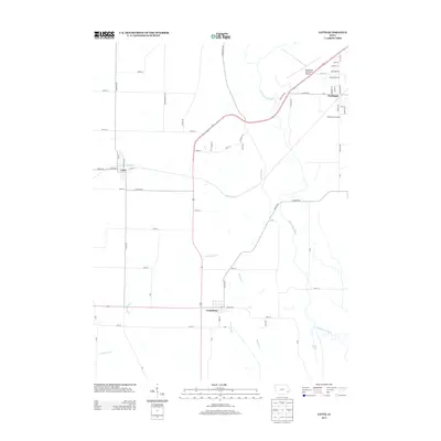
Editions of this 2022 Letts Map
This is the sole edition of this map. No revisions or reprints were ever made.
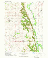
Historical Maps of Muscatine Through Time
6 maps found
Featured Locations
Source Details
SourceU.S. Geological Survey
CopyrightPublic Domain