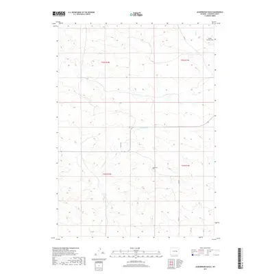
2017 Map of Leuenberger Ranch
USGS Topo · Published 2017About this map
Leuenberger Ranch sits as a primary landmark in this expanse of Converse County, where the high plains are defined by intermittent watercourses and ranching infrastructure. The terrain is shaped by the drainage systems of Little Sand Cr and Sage Cr, which carve through the township and range divisions. Cultural features are relatively sparse, highlighting the isolation of this western landscape. Notable for local history is the School Section Draw in the northeastern corner, a name suggesting the historical designation of state-owned lands for public education funding. Transport is facilitated by a network of rural routes including Negley Rd, Co Rd 31, and Co Rd 26, which connect the scattered homesteads across these vast sections of Wyoming rangeland.
Find a feature on this map
11 named features on this map. Tap any name to fly to it.
Don’t see what you’re looking for? This feature index may not catch every label — zoom into the map to look around manually.
Map Details
Editions of this 2017 Leuenberger Ranch Map
This is the sole edition of this map. No revisions or reprints were ever made.
Other maps of this area

1949 · Orpha
USGS Topo · 1:24,000

1949 · Careyhurst
USGS Topo · 1:24,000

1949 · Gilbert Lake
USGS Topo · 1:24,000

1949 · Glenrock
USGS Topo · 1:24,000

1949 · Leuenberger Ranch
USGS Topo · 1:24,000

1949 · Hylton Ranch
USGS Topo · 1:24,000

1950 · Careyhurst
USGS Topo · 1:24,000

1950 · Gilbert Lake
USGS Topo · 1:24,000

1950 · Leuenberger Ranch
USGS Topo · 1:24,000

1950 · Orpha
USGS Topo · 1:24,000