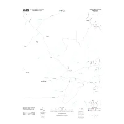
2013 Map of Lewis Swamp
USGS Topo · Published 2013About this map
Lewis Swamp and the surrounding wetlands of Brunswick County define the topography of this coastal plain region. Small, localized settlements such as Rabontown and Batarora are connected by a network of rural roads like Town Creek Rd and Green Hill Rd NE. The landscape is characterized by a series of prominent swamps and creeks, including Gapway Swamp and Town Cr, which navigate around elevated landforms such as Gapway Ridge and Big Bay Ridge.
Find a feature on this map
67 named features on this map. Tap any name to fly to it.
Don’t see what you’re looking for? This feature index may not catch every label — zoom into the map to look around manually.
Map Details
Editions of this 2013 Lewis Swamp Map
This is the sole edition of this map. No revisions or reprints were ever made.
Other maps of this area

1943 · Funston
USGS Topo · 1:24,000

1943 · Honey Island
USGS Topo · 1:24,000

1943 · Winnabow
USGS Topo · 1:24,000

1943 · Bolivia
USGS Topo · 1:24,000

1943 · Supply
USGS Topo · 1:24,000

1943 · Lewis Swamp
USGS Topo · 1:24,000

1944 · Supply
USGS Topo · 1:31,680

1944 · Bolivia
USGS Topo · 1:31,680

1944 · Winnabow
USGS Topo · 1:31,680

1944 · Lewis Swamp
USGS Topo · 1:31,680