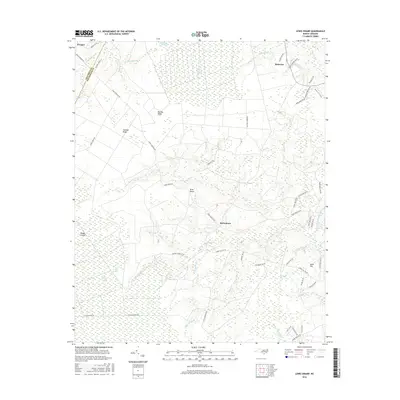
2016 Map of Lewis Swamp
USGS Topo · Published 2016About this map
Green Swamp and Lewis Swamp dominate this coastal plain landscape, defining a region where water and land are intimately connected. Small settlements like Batarora, Rabontown, and Prosper are positioned along the periphery of these expansive wetlands, connected by a network of rural routes such as Town Creek Rd and Green Hill Rd NE. The topography is characterized by subtle elevations and sandy ridges, including Big Bay Ridge, Gapway Ridge, and Sand Hill, which provided stable ground for early inhabitants and agricultural efforts.
Find a feature on this map
62 named features on this map. Tap any name to fly to it.
Don’t see what you’re looking for? This feature index may not catch every label — zoom into the map to look around manually.
Map Details
Editions of this 2016 Lewis Swamp Map
This is the sole edition of this map. No revisions or reprints were ever made.
Other maps of this area
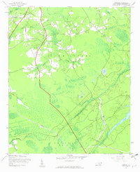
1943 · Funston
USGS Topo · 1:24,000
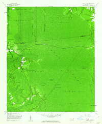
1943 · Honey Island
USGS Topo · 1:24,000
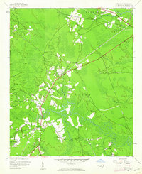
1943 · Winnabow
USGS Topo · 1:24,000
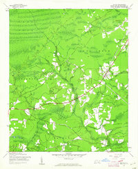
1943 · Bolivia
USGS Topo · 1:24,000
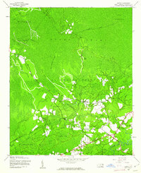
1943 · Supply
USGS Topo · 1:24,000
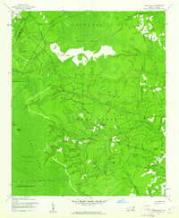
1943 · Lewis Swamp
USGS Topo · 1:24,000
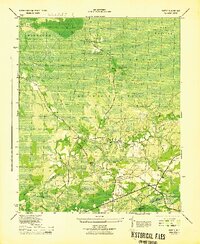
1944 · Supply
USGS Topo · 1:31,680
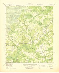
1944 · Bolivia
USGS Topo · 1:31,680
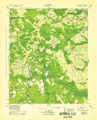
1944 · Winnabow
USGS Topo · 1:31,680
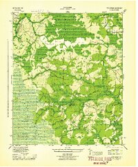
1944 · Lewis Swamp
USGS Topo · 1:31,680