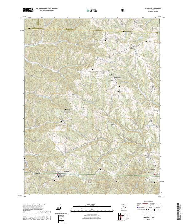
2023 Map of Lewisville
USGS Topo · Published 2023About this map
The rolling hills of Monroe County, Ohio, are defined by a network of rural ridges and small creek valleys that have shaped local settlement since the 19th century. This area, centered on the village of Lewisville, shows a landscape where early religious foundations and family burial grounds are deeply integrated into the geography. Historic congregations are represented by the Middle Church German Lutheran Cem and the Saint Johns Roman Catholic Cem, reflecting the heritage of the early German settlers who cleared the timber here.
Find a feature on this map
105 named features on this map. Tap any name to fly to it.
Don’t see what you’re looking for? This feature index may not catch every label — zoom into the map to look around manually.
Map Details
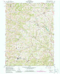
Editions of this 2023 Lewisville Map
This is the sole edition of this map. No revisions or reprints were ever made.
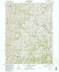
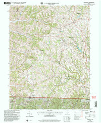
Historical Maps of Wayne Township Through Time
4 maps found
Featured Locations
- Summit Township, OH
- Lewisville, Summit Township
- Malaga, Malaga Township
- Miltonsburg, Malaga Township
- Woodsfield, Center Township