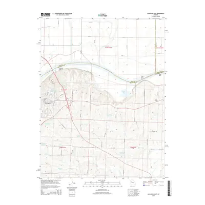
2015 Map of Lexington East
USGS Topo · Published 2015About this map
Lexington serves as the focal point of this 2015 study, situated at a dramatic bend where the Missouri River transitions through Lexington Bend, Sheep Nose Bend, and Tabo Bend. The landscape is defined by the sharp contrast between the northern floodplains of the Crooked River and the elevated, dissected bluffs to the south. Notable institutional landmarks include the Wentworth Military Acad, which has long anchored the local community.
Find a feature on this map
72 named features on this map. Tap any name to fly to it.
Don’t see what you’re looking for? This feature index may not catch every label — zoom into the map to look around manually.
Map Details
Editions of this 2015 Lexington East Map
This is the sole edition of this map. No revisions or reprints were ever made.
Other maps of this area

1889 · Lexington
USGS Topo · 1:125,000

1949 · Mayview
USGS Topo · 1:24,000

1949 · Lexington East
USGS Topo · 1:24,000

1949 · Lexington West
USGS Topo · 1:24,000

1949 · Odessa North
USGS Topo · 1:24,000

1950 · Lexington East
USGS Topo · 1:24,000

1950 · Mayview
USGS Topo · 1:24,000

1950 · Odessa North
USGS Topo · 1:24,000
1950 · Lexington West
USGS Topo · 1:24,000

1950 · Dover
USGS Topo · 1:24,000