
1950 Map of Lexington East
USGS Topo · Published 1950About this map
Lexington serves as the focal point of this mid-century landscape, where the Missouri River cuts a wide path between Lafayette and Ray counties. The map captures a transition from the industrial activity seen at several Mine Dumps and along the Missouri Pacific railroad lines to the educational and social centers of the day. Landmarks like the Wentworth Military Academy and Wentworth Country Club anchor the western edge of the quadrangle, while the rural surrounding areas are dotted with local institutions such as Oak Grove Sch and Locust Grove Sch. This survey provides a look at the river valley before modern infrastructure altered its banks, showing the natural oxbows and lakes like Hicklin Lake and Haines Lake that defined the floodplain's geography during this era of Missouri's development.
Find a feature on this map
28 named features on this map. Tap any name to fly to it.
Don’t see what you’re looking for? This feature index may not catch every label — zoom into the map to look around manually.
Map Details
Editions of this 1950 Lexington East Map
This is the sole edition of this map. No revisions or reprints were ever made.
Other maps of this area

1889 · Lexington
USGS Topo · 1:125,000

1949 · Mayview
USGS Topo · 1:24,000

1949 · Lexington East
USGS Topo · 1:24,000

1949 · Lexington West
USGS Topo · 1:24,000

1949 · Odessa North
USGS Topo · 1:24,000

1950 · Mayview
USGS Topo · 1:24,000

1950 · Odessa North
USGS Topo · 1:24,000
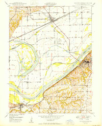
1950 · Lexington West
USGS Topo · 1:24,000

1950 · Dover
USGS Topo · 1:24,000
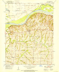
1951 · Dover
USGS Topo · 1:24,000