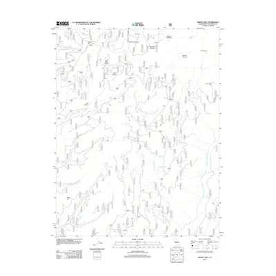
2012 Map of Liberty Hill
USGS Topo · Published 2012About this map
Liberty Hill and the high mountain meadows of Tuolumne County are mapped here during a period of modern resource management. The landscape is defined by its complex hydrography, dominated by the Middle Fork Stanislaus River and its numerous tributaries such as Campoodle Cr and Big Rattlesnake Cr. These water sources once supported a network of temporary high-altitude encampments, including Snyder Camp, Shearing Camp, and Grohls Upper Camp, which indicate a legacy of seasonal activity in this terrain.
Find a feature on this map
33 named features on this map. Tap any name to fly to it.
Don’t see what you’re looking for? This feature index may not catch every label — zoom into the map to look around manually.
Map Details
Editions of this 2012 Liberty Hill Map
This is the sole edition of this map. No revisions or reprints were ever made.
Other maps of this area

1891 · Big Trees
USGS Topo · 1:125,000

1894 · Big Trees
USGS Topo · 1:125,000

1896 · Dardanelles
USGS Topo · 1:125,000

1897 · Big Trees
USGS Topo · 1:125,000

1898 · Dardanelles
USGS Topo · 1:125,000

1901 · Big Trees
USGS Topo · 1:125,000

1947 · Sacramento
USGS Topo · 1:250,000

1948 · Walker Lake
USGS Topo · 1:250,000

1948 · Sacramento
USGS Topo · 1:250,000

1956 · Sacramento
USGS Topo · 1:250,000