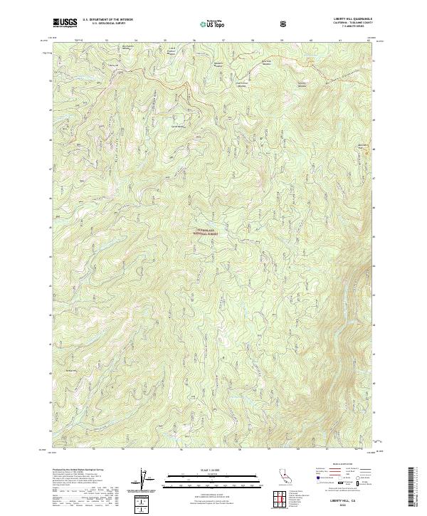
2022 Map of Liberty Hill
USGS Topo · Published 2022About this map
Liberty Hill and the high Sierra Nevada meadows define this portion of the Stanislaus National Forest in Tuolumne County. This modern survey illustrates a landscape primarily shaped by water and elevation, where seasonal drainages like Big Rattlesnake Creek and Beaver Creek feed into larger arteries such as the Middle Fork Stanislaus River. The topography is marked by distinctive high-country features including the Whittakers Dardanelles and the steep contours of McKee Hill.
Find a feature on this map
62 named features on this map. Tap any name to fly to it.
Don’t see what you’re looking for? This feature index may not catch every label — zoom into the map to look around manually.
Map Details
Editions of this 2022 Liberty Hill Map
This is the sole edition of this map. No revisions or reprints were ever made.
Other maps of this area

1891 · Big Trees
USGS Topo · 1:125,000

1894 · Big Trees
USGS Topo · 1:125,000

1896 · Dardanelles
USGS Topo · 1:125,000

1897 · Big Trees
USGS Topo · 1:125,000

1898 · Dardanelles
USGS Topo · 1:125,000

1901 · Big Trees
USGS Topo · 1:125,000

1947 · Sacramento
USGS Topo · 1:250,000

1948 · Walker Lake
USGS Topo · 1:250,000

1948 · Sacramento
USGS Topo · 1:250,000

1956 · Sacramento
USGS Topo · 1:250,000