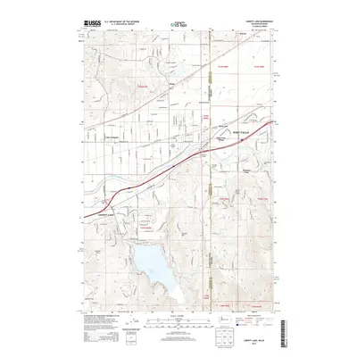
2014 Map of Liberty Lake
USGS Topo · Published 2014About this map
The Spokane River corridor serves as the primary artery through this landscape, marking the transition from the agricultural plains of eastern Washington into the panhandle of Idaho. The Washington Idaho state line bisects the map, creating a distinct jurisdictional border that shaped the development of State Line Village and the westward expansion of Post Falls. The suburban and semi-rural layout of Spokane Valley is evidenced by a dense grid of named roads like E Trent Ave and E Appleway Ave, contrasted by the rugged terrain of Kramer Hill and Carlson Hill. Small settlements such as Otis Orchards and Moab reflect the area's agricultural roots, while the presence of multiple private airstrips, including Scanlon Airport and Nichols Ranch Airport, suggests a legacy of local aviation. The recreational and residential draw of Liberty Lake and the smaller community of Aturdee anchor the southwestern portion of the sheet, illustrating how water features continue to define settlement patterns in the region.
Find a feature on this map
78 named features on this map. Tap any name to fly to it.
Don’t see what you’re looking for? This feature index may not catch every label — zoom into the map to look around manually.
Map Details
Editions of this 2014 Liberty Lake Map
This is the sole edition of this map. No revisions or reprints were ever made.
Other maps of this area

1901 · Spokane
USGS Topo · 1:125,000

1903 · Rathdrum
USGS Topo · 1:125,000

1943 · Mt Spokane
USGS Topo · 1:62,500

1949 · Greenacres
USGS Topo · 1:62,500

1950 · Mt Spokane
USGS Topo · 1:62,500

1951 · Greenacres
USGS Topo · 1:62,500

1955 · Spokane
USGS Topo · 1:250,000

1957 · Coeur D'Alene
USGS Topo · 1:62,500

1958 · Spokane
USGS Topo · 1:250,000

1961 · Rathdrum
USGS Topo · 1:24,000