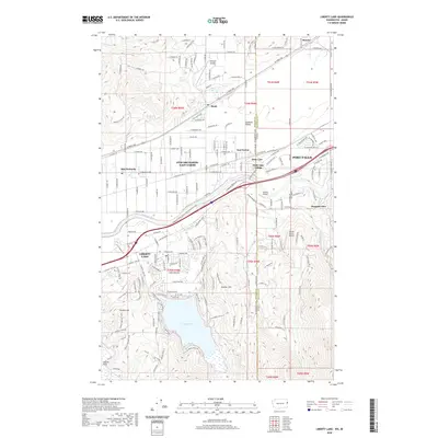
2020 Map of Liberty Lake
USGS Topo · Published 2020About this map
The Spokane River serves as the geographic heart of this borderlands region, winding through the valley where Washington and Idaho meet. This 2020 survey details the suburban expansion and recreational infrastructure at the edge of the Palouse, featuring the Spokane River Centennial State Park Trail as it parallels the water and Interstate 90. To the south, the terrain rises into the Saltese Uplands and Kramer Hill, overlooking the residential developments surrounding the shores of Liberty Lake.
Find a feature on this map
67 named features on this map. Tap any name to fly to it.
Don’t see what you’re looking for? This feature index may not catch every label — zoom into the map to look around manually.
Map Details
Editions of this 2020 Liberty Lake Map
This is the sole edition of this map. No revisions or reprints were ever made.
Other maps of this area

1901 · Spokane
USGS Topo · 1:125,000

1903 · Rathdrum
USGS Topo · 1:125,000

1943 · Mt Spokane
USGS Topo · 1:62,500

1949 · Greenacres
USGS Topo · 1:62,500

1950 · Mt Spokane
USGS Topo · 1:62,500

1951 · Greenacres
USGS Topo · 1:62,500

1955 · Spokane
USGS Topo · 1:250,000

1957 · Coeur D'Alene
USGS Topo · 1:62,500

1958 · Spokane
USGS Topo · 1:250,000

1961 · Rathdrum
USGS Topo · 1:24,000