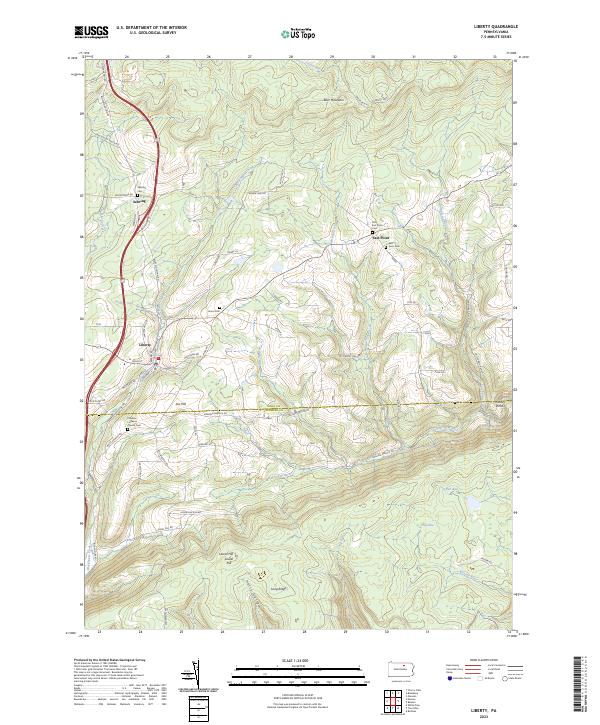
2023 Map of Liberty
USGS Topo · Published 2023About this map
Liberty and the surrounding highlands of the Tioga Co and Lycoming Co border are defined by a complex network of narrow valleys and high ridges. Small settlements like Sebring and East Point anchor the rural landscape, their history preserved through numerous local burial grounds including Old East Point Cem, Union Cem, and the Sebring Cem. The terrain rises sharply to features such as Brier Mountain and Laurel Hill, while the Friedens Lutheran Church Cem sits near Jew Hill along the southern edge of the plateau.
Find a feature on this map
68 named features on this map. Tap any name to fly to it.
Don’t see what you’re looking for? This feature index may not catch every label — zoom into the map to look around manually.
Map Details
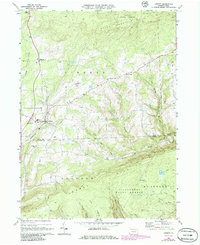
Editions of this 2023 Liberty Map
This is the sole edition of this map. No revisions or reprints were ever made.
Historical Maps of Liberty Through Time
Featured Locations
- Jackson Township, PA
- Liberty Township, PA
- Union Township, PA
- Liberty, PA
- House Landing Strip, Liberty Township