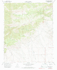
1965 Map of Liebre Twins
USGS Topo · Published 1987About this map
The high ridges of La Liebre dominate this mid-century survey, a landscape defined by sharp elevation changes and the namesake summits of the Liebre Twins. This terrain in Kern County is marked by a complex network of ephemeral drainages and canyons, including Stratton Canyon, Bronco Canyon, and the deeply cut Canyon del Gato Montes. Surface water is scarce, concentrated at high-altitude features like Twin Lakes and several isolated Springs and Water Tanks that likely supported the region's ranching or early industrial activity.
Find a feature on this map
20 named features on this map. Tap any name to fly to it.
Don’t see what you’re looking for? This feature index may not catch every label — zoom into the map to look around manually.
Map Details
Editions of this 1965 Liebre Twins Map
2 editions found
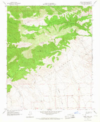
Other maps of this area

1903 · Tejon
USGS Topo · 1:125,000

1914 · Caliente
USGS Topo · 1:125,000

1915 · Elizabeth Lake
USGS Topo · 1:125,000

1915 · Mojave
USGS Topo · 1:125,000

1917 · Elizabeth Lake
USGS Topo · 1:125,000

1943 · Tehachapi
USGS Topo · 1:62,500

1943 · Cummings Mountain
USGS Topo · 1:62,500

1943 · Neenach
USGS Topo · 1:62,500

1943 · Willow Springs
USGS Topo · 1:62,500

1948 · Bakersfield
USGS Topo · 1:250,000