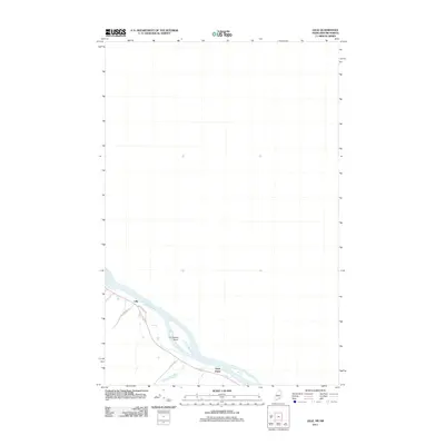
2011 Map of Lille
USGS Topo · Published 2011About this map
The Saint John River defines the international boundary and the primary landscape of this northern Maine region in 2011. The settlements of Lille and Notre Dame are positioned along the river's banks, connected by localized road networks such as Notre Dame Rd and Grivois Rd. A prominent feature within the river channel is La Grande Island, illustrating the braided nature of the waterway as it flows toward the Atlantic. The presence of Mt Marcell St and other residential roads reflects a long-established pattern of ribbon development typical of the Acadian heritage in the St. John Valley, where homes and farmsteads were built in close proximity to the water and the main thoroughfares.
Find a feature on this map
7 named features on this map. Tap any name to fly to it.
Don’t see what you’re looking for? This feature index may not catch every label — zoom into the map to look around manually.
Map Details
Editions of this 2011 Lille Map
This is the sole edition of this map. No revisions or reprints were ever made.
Other maps of this area

1921 · Van Buren
USGS Topo · 1:250,000

1927 · Stockholm
USGS Topo · 1:48,000

1931 · Van Buren
USGS Topo · 1:48,000

1931 · Stockholm
USGS Topo · 1:62,500

1934 · Van Buren
USGS Topo · 1:62,500

1938 · Grand Isle
USGS Topo · 1:62,500

1940 · Grand Isle
USGS Topo · 1:62,500

1951 · Van Buren
USGS Topo · 1:62,500

1953 · Stockholm
USGS Topo · 1:62,500

1962 · Edmundston
USGS Topo · 1:250,000