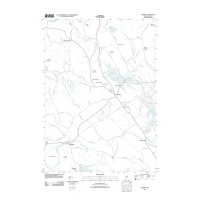
2011 Map of Limerick
USGS Topo · Published 2011About this map
The Little Ossipee River carves through this corner of York County, anchoring a landscape defined by historic mill sites and small upland settlements. In the early 21st century, Limerick and Newfield serve as the primary hubs, surrounded by older crossroads and industrial hamlets such as Limerick Mills, Ossipee Mills, and Felch Corner. The map captures the balance between longstanding rural traditions and modern developments, including the sprawling residential lanes surrounding Lake Arrowhead and the preservation of local heritage at the Willowbrook Museum in Newfield.
Find a feature on this map
125 named features on this map. Tap any name to fly to it.
Don’t see what you’re looking for? This feature index may not catch every label — zoom into the map to look around manually.
Map Details
Editions of this 2011 Limerick Map
This is the sole edition of this map. No revisions or reprints were ever made.
Other maps of this area

1891 · Buxton
USGS Topo · 1:62,500

1891 · Newfield
USGS Topo · 1:62,500

1892 · Buxton
USGS Topo · 1:62,500

1893 · Buxton
USGS Topo · 1:62,500

1893 · Newfield
USGS Topo · 1:62,500

1896 · Sebago
USGS Topo · 1:62,500

1910 · Kezar Falls
USGS Topo · 1:48,000

1911 · Kezar Falls
USGS Topo · 1:62,500

1933 · Newfield
USGS Topo · 1:48,000

1937 · Newfield
USGS Topo · 1:62,500