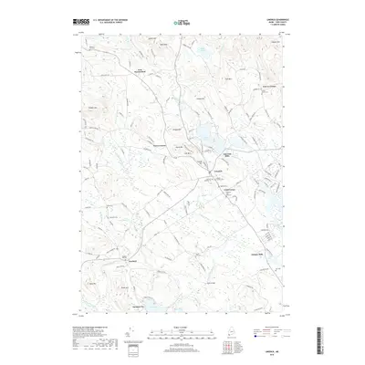
2018 Map of Limerick
USGS Topo · Published 2018About this map
The Little Ossipee River anchors this corner of York County, flowing through a landscape defined by small early settlements and numerous family burying grounds. The village of Limerick serves as a central hub, flanked by industrial-era sites like Limerick Mills and Ossipee Mills, which developed alongside the region’s vital waterways. The distribution of small cemeteries, including the Baptist Society Cem, Dearborn Foss Cem, and the Sanborn Lot, provides a detailed record of the families who settled these valleys, such as the Nasons and Grays.
Find a feature on this map
137 named features on this map. Tap any name to fly to it.
Don’t see what you’re looking for? This feature index may not catch every label — zoom into the map to look around manually.
Map Details
Editions of this 2018 Limerick Map
This is the sole edition of this map. No revisions or reprints were ever made.
Other maps of this area

1891 · Buxton
USGS Topo · 1:62,500

1891 · Newfield
USGS Topo · 1:62,500

1892 · Buxton
USGS Topo · 1:62,500

1893 · Buxton
USGS Topo · 1:62,500

1893 · Newfield
USGS Topo · 1:62,500

1896 · Sebago
USGS Topo · 1:62,500

1910 · Kezar Falls
USGS Topo · 1:48,000

1911 · Kezar Falls
USGS Topo · 1:62,500

1933 · Newfield
USGS Topo · 1:48,000

1937 · Newfield
USGS Topo · 1:62,500