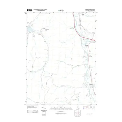
2013 Map of Limestone
USGS Topo · Published 2013About this map
Allegany State Park dominates the western half of this landscape, where the terrain is marked by deep valleys like Stoddard Hollow and high points such as Mount Irvine. This section of Cattaraugus County illustrates a clear divide between the protected woodlands of the park and the industrial and transit corridor to the east. Along the Allegheny River, a string of settlements including Carrollton, Riverside Junction, and Limestone follow the river valley, connected by a network of roads and rail lines that historically served the region's timber and oil interests.
Find a feature on this map
74 named features on this map. Tap any name to fly to it.
Don’t see what you’re looking for? This feature index may not catch every label — zoom into the map to look around manually.
Map Details
Editions of this 2013 Limestone Map
This is the sole edition of this map. No revisions or reprints were ever made.
Other maps of this area

1900 · Salamanca
USGS Topo · 1:62,500

1922 · Randolph
USGS Topo · 1:62,500

1923 · Randolph
USGS Topo · 1:62,500

1924 · Bradford
USGS Topo · 1:62,500

1926 · Bradford
USGS Topo · 1:62,500

1936 · Kinzua
USGS Topo · 1:48,000

1938 · Salamanca
USGS Topo · 1:62,500

1941 · Kinzua
USGS Topo · 1:62,500

1941 · Bradford
USGS Topo · 1:62,500

1943 · Randolph
USGS Topo · 1:62,500
Featured Places
- Carrollton, NY
- Limestone, Carrollton
- Red House, NY
- Bradford Junction, Carrollton
- Irvine Mills, Carrollton