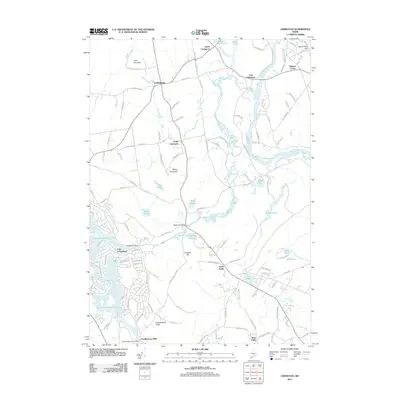
2011 Map of Limington
USGS Topo · Published 2011About this map
Limington and its surrounding hamlets sit at a significant hydrological crossroads where the Saco River and Little Ossipee River converge. This 2011 survey reveals a landscape defined by water management and historic milling sites, most notably at Chadbournes Mills and the Webster Millpond. The terrain is punctuated by significant elevations such as Libby Mountain and Maloy Mountain, which look down upon a network of ponds including Killick Pond, Sand Pond, and Doles Pond. The development of Lake Arrowhead in the southwest corner illustrates modern residential expansion around traditional water bodies. Genealogists and local historians can trace the connective tissue of York and Cumberland counties through old crossings like the Edgecomb Bridge and longstanding community centers at Higgins Corner and North Hollis.
Find a feature on this map
128 named features on this map. Tap any name to fly to it.
Don’t see what you’re looking for? This feature index may not catch every label — zoom into the map to look around manually.
Map Details
Editions of this 2011 Limington Map
This is the sole edition of this map. No revisions or reprints were ever made.
Other maps of this area

1891 · Buxton
USGS Topo · 1:62,500

1891 · Newfield
USGS Topo · 1:62,500

1892 · Buxton
USGS Topo · 1:62,500

1893 · Buxton
USGS Topo · 1:62,500

1893 · Newfield
USGS Topo · 1:62,500

1896 · Sebago
USGS Topo · 1:62,500

1910 · Kezar Falls
USGS Topo · 1:48,000

1911 · Kezar Falls
USGS Topo · 1:62,500

1933 · Newfield
USGS Topo · 1:48,000

1937 · Newfield
USGS Topo · 1:62,500